
Typically most bridges are built over rivers upstream where the river is narrow, or further downstream where the population or transport links are important enough to justify the high cost of spanning a wider river. The Richelieu is a good example, with two bridges near where it empties into the Saint Lawrence and runs between the industrial twin towns of Sorel and Tracey. Heading upstream there are no more bridges for 50, until the Autoroute 20 crosses near Mont Saint-Hilaire.
This central section is left to be serviced by three small ferries, with Hwy 223 running the length of the west bank and Hwy 133 the length of the east bank. The river here passes through rich farmland, with the distinctive long narrow fields running up from the river, typical of the Quebec seigneurial system, with the farm buildings close to the river. There are a few small towns or villages along the river’s banks, historically there to service the farms. And that’s where the ferries are.
These ferries remain an important resource for the people who live around the Richelieu, but there is little reason for anyone outside the region to use them, or even know about them. I chose to make a casual day’s outing one September Sunday, by driving up Autoroute 30 almost to Sorel-Tracey, and then driving south (upstream), crossing back and forth across the river on the three ferries and ending the day with a walk in Mont Saint-Bruno park.
This area is not without its tourism. We saw many groups of motor-cyclists out for a Sunday afternoon ride, enjoying the straight, empty roads and easy distance from Montreal. And where the terrain allows, the banks of the Richelieu are rarely free of a houses, with that much-in-demand water access and an easy drive from the big city.
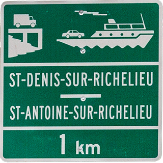
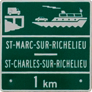
The three ferries were all very similar in operation, all to my knowledge family owned. They are were cable operated, all charged $4.50 and run with minimal infrastructure—a simple ramp on each bank, and a single operator who controlled the boat, took the fare and would make the crossing as soon as there was a car waiting on one bank or the other. They are defined more by their common features than their differences, which is why I have grouped them all onto this same page.
Each ferry has a small cabin, somewhat resembling a garden shed, on the downstream side of the boat. The loading ramps, vehicle waiting area and signage are all minimal—little is wasted on unnecessary luxuries. There is room on each for about 6 cars maximum. I have heard that no more permits will be issued for ferries on this stretch of the river, but there does not seem to be a need for any more.
These three ferries are the closest I have come across to the romantic image of the ferryman, le passeur, waiting on the banks, ready to serve his community as he and his ancestors have done for countless years.
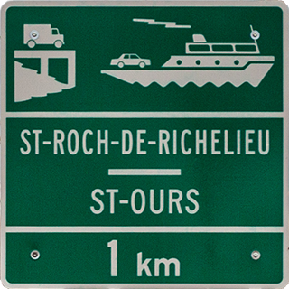
We started our trip on the west side of the Richelieu, and so took the ferry from Saint-Roch-de-Richelieu to Saint-Ours. These are two small towns or villages with populations of around 2000, facing each other across the river. Saint-Ours has a long history with its origins going back to the seigneurie founded in about 1674.
INFO
External links related to the
Location
Ferry info
Operating from mid-April to mid-December
Crossing time 5 and distance 250
On demand, from 6 to 11:45
Crossing time 5 and distance 250
On demand, from 6 to 11:45
The boat
Cost
$4.50 for a car and its passengers
Operator
Martin Larivière
Website
When I used the ferry
September 2019
More photos of the
INFO
External links related to the
Location
Ferry info
Operating from mid-April to mid-December
Crossing time 5 and distance 400
On demand, from 6 to midnight (weekends 7 to midnight)
Crossing time 5 and distance 400
On demand, from 6 to midnight (weekends 7 to midnight)
The boat
Cost
$4.50 for a car and its passengers
Website
When I used the ferry
September 2019
More photos of the
INFO
External links related to the
Location
Ferry info
Operating from mid-April to mid-December
Crossing time 5 and distance 350
On demand
Crossing time 5 and distance 350
On demand
The boat
Cost
$4.50 for a car and its passengers
Website
When I used the ferry
September 2019
More photos of the
×
×⋮
Slideshow settings
Slideshow:
Interval:
Loop:
Download this photo